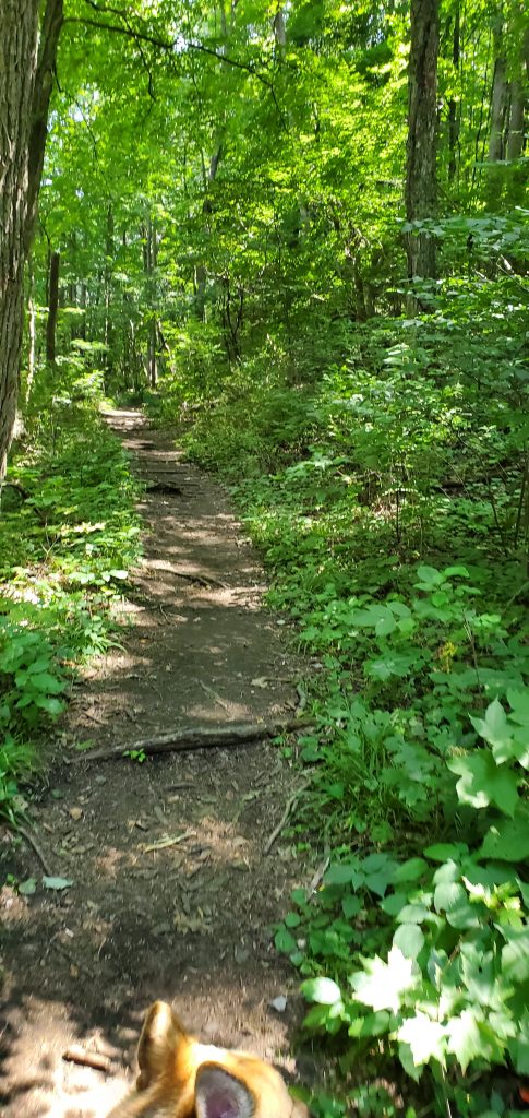
I planned another day hike on a new trail this time.
Planning the Hike
The excitement starts to build up a few days before a big hike day. The anticipation starts bubbling in my belly at the excitement that awaits in my favorite place in the entire world.
It has been my favorite spot since I was a small child. I spent so many of my childhood summers in the small town exploring all of the knocks and crannies, white water rafting and camping to my heart’s content.
Of course, back then I didn’t plan. For my solo hikes I winged it and my mom planned the bigger trips.
Now that I’m a mom and wife, I plan our trips to ensure maximum fun and not getting lost.
How do you plan for these trips? For the day hikes it’s fairly easy. The first thing is determining what trail to hike. How long do you want to hike? How far? How hard? Ohiopyle offers 19,052 acres of wilderness including the Youghiogheny river.
Once you determine which trail you want to hike, you have to figure out where the trailhead is located. What is a trailhead? A trailhead is the point at which a trail begins.
The trail we’re taking today, the Baughman Trail, starts right off the Great Allegheny Passage. It’s a 5.29-mile loop that crosses Sugarloaf Rd and Meadow Run. (I’d read 4.8…it’s not)
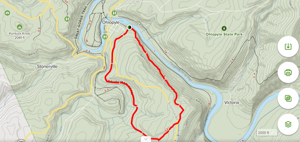
So now you know where you’re going and the trail you want to do. Now what?
You figure out what you’re packing. What activities do you plan on doing? Do you have kids? How old and how many? Are you taking your dogs? Is the trail you chose dog/kid friendly?
The Baughman Trial is both kid and dog friendly. It’s rated as Moderate on AllTrails. It’s not a difficult trail and one I enjoyed many years ago.
What to Pack
For our day hikes we pack light but smart.
The first thing is to decide if you’re going to use a basic day pack or a hydration pack. If the day pack can carry a lot of bottles of water that is an option. Unless we know it’s for sure going to be a short hike, we go for the hydration packs all around. They have space for non-water related essentials but carries 2L of water each.
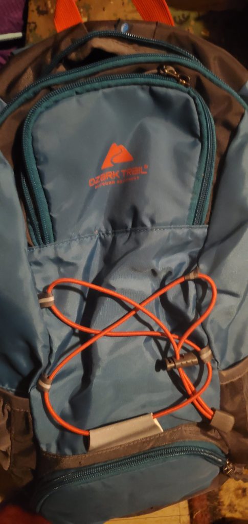
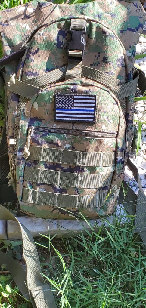
I always carry the essentials with us when we are heading out into the woods. What are essentials?
First are the provisions. I tend to pack just a few snacks for each of us.
A few favorites of ours:


The most important of all the provisions though is water.

A few other essentials that are packed are:
First aid kit
bags for trash/dog poo (if you take your four legged friend with you)
Knife
Sunblock
Bug repelent
collapsible dog bowls (don’t forget food and water for your dogs!)
Doggie booties
Flashlight (incase you get lost…always be prepared)
If you have your CCP or believe in the 2A, your firearm. (I never leave home with my Bodyguard.)

When you’re preparing to hike, be sure to wear the appropriate clothing. You want to wear the appropriate clothing and shoes.
For the current season, summer, I’ve been sticking to shorts, a t-shirt, and my hiking sandals.
These are my go to shorts. They’re comfy, have pockets, and are just awesome.
I have these hiking sandals which I’ll be doing a review on later:
If you’re not into the hiking sandal and prefer the boots, you can never go wrong with Columbia.
They are sturdy, comfortable and great for walking through the mud, creeks and river.
So you’re ready. You’ve picked a trail, you’ve packed your bag with all of your essentials, and you have the comfortable and right clothing. You’re set!
Know Your Trail
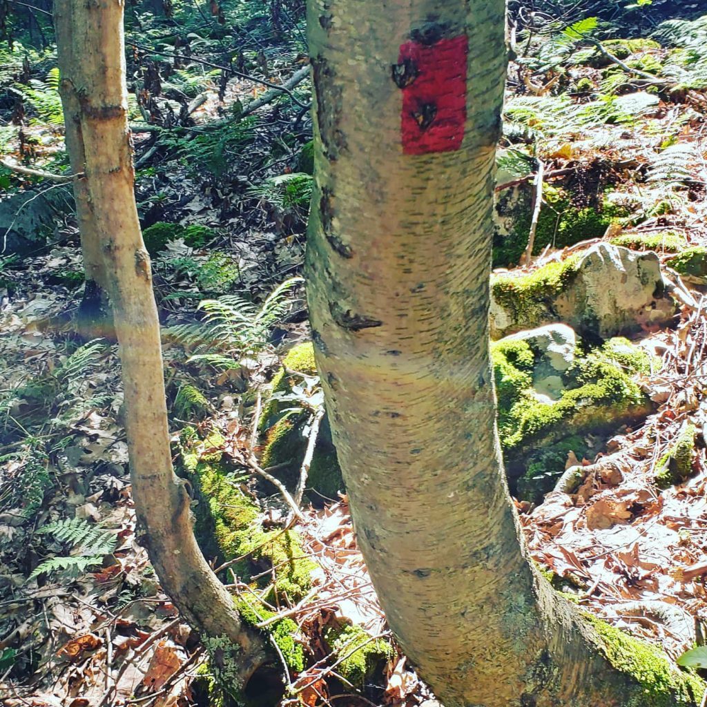
Once you set off on the trail, be sure to follow the blazes to be sure you stay on paths. In Ohiopyle they use blazes like the one above to mark the trail. What is a trail blaze? Trail blazing or a way marking is the practice of marking paths in outdoor recreational areas with signs or markings that follow each other at certain, though not necessarily exactly defined, distances and mark the direction of the trail.
Always be sure to stay on well traveled and marked paths when hiking.
Another important thing to remember, you’re in the woods. You could go long stretches without seeing anybody. We only saw two groups of people our entire 5.29-mile hike and they were going the opposite direction than us.
It was extremely peaceful. It’s very serene. It’s very easy to get lost even on marked trails. The reception tends to be non-existent in the middle of the mountains, so to help with your directions, download the map. It may seem silly at first, but as you’re going and unfamiliar with your surroundings, it can help you gain your bearings for where you are, so long as you can read the maps.
Here’s the catch, no matter how much you prepare you’ll always run into something unexpected. Take our hike today for example. Everything I planned said it was a 4.28-mile hike with a slight elevation.
It was not. It was a 5.29-mile hike that was holy shit. It wasn’t the hardest hike I’ve ever done, but it was the hardest in the past few years. It was a good long hike; however, it wasn’t what I’d planned and that can throw a kink in things. Especially when you’re in the middle of the woods.
All in all though, it was a great hike.
Check Out Our Affiliate:


